Construction Management System

Transforming Land Development

A Geo-enabled Construction Workflow Management System

About The Customer

A Geo-enabled Construction Workflow Management System is a specialized technology company that designs and delivers geospatial solutions for the land development and construction sectors. With deep expertise in Geographic Information Systems (GIS), A Geo-enabled Construction Workflow Management System builds tools that empower users to plan, visualize, and manage projects through spatial data intelligence. The company focuses on turning complex mapping challenges into user-friendly platforms, enabling precision, efficiency, and clarity in site management and infrastructure development.
The Problem

A Construction Workflow Management System faced critical bottlenecks in enabling seamless oversight across large-scale land development and construction sites. The core issue stemmed from a lack of spatial intelligence within existing task management systems. Without integrated geospatial capabilities, teams struggled to map work orders to physical locations, resulting in fragmented coordination and delayed execution.

Additionally, Construction Workflow Management System’s clients relied heavily on AutoCAD-based Development Planning Files—complex layouts that required manual conversion to support actionable task assignments. This created inefficiencies in translating plans into field-level operations.

The Solution

A Geo-enabled Construction Workflow Management System needed a solution that:

Geospatial mapping

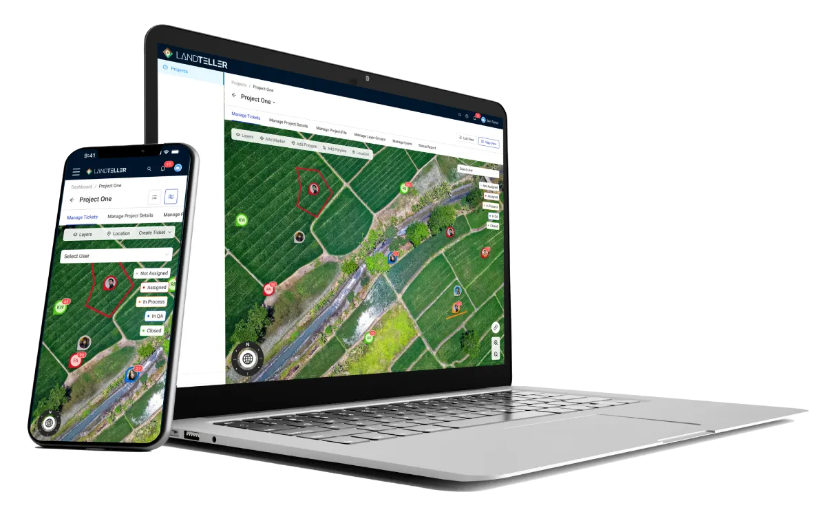
Integrated geospatial mapping for real-time project visualization.

Hierarchical ticketing system

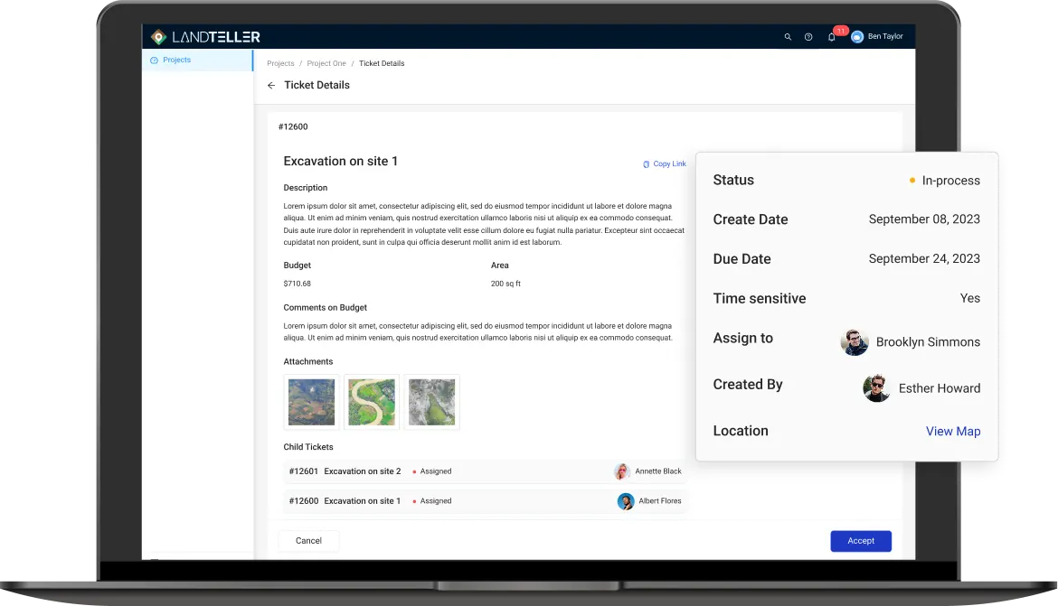
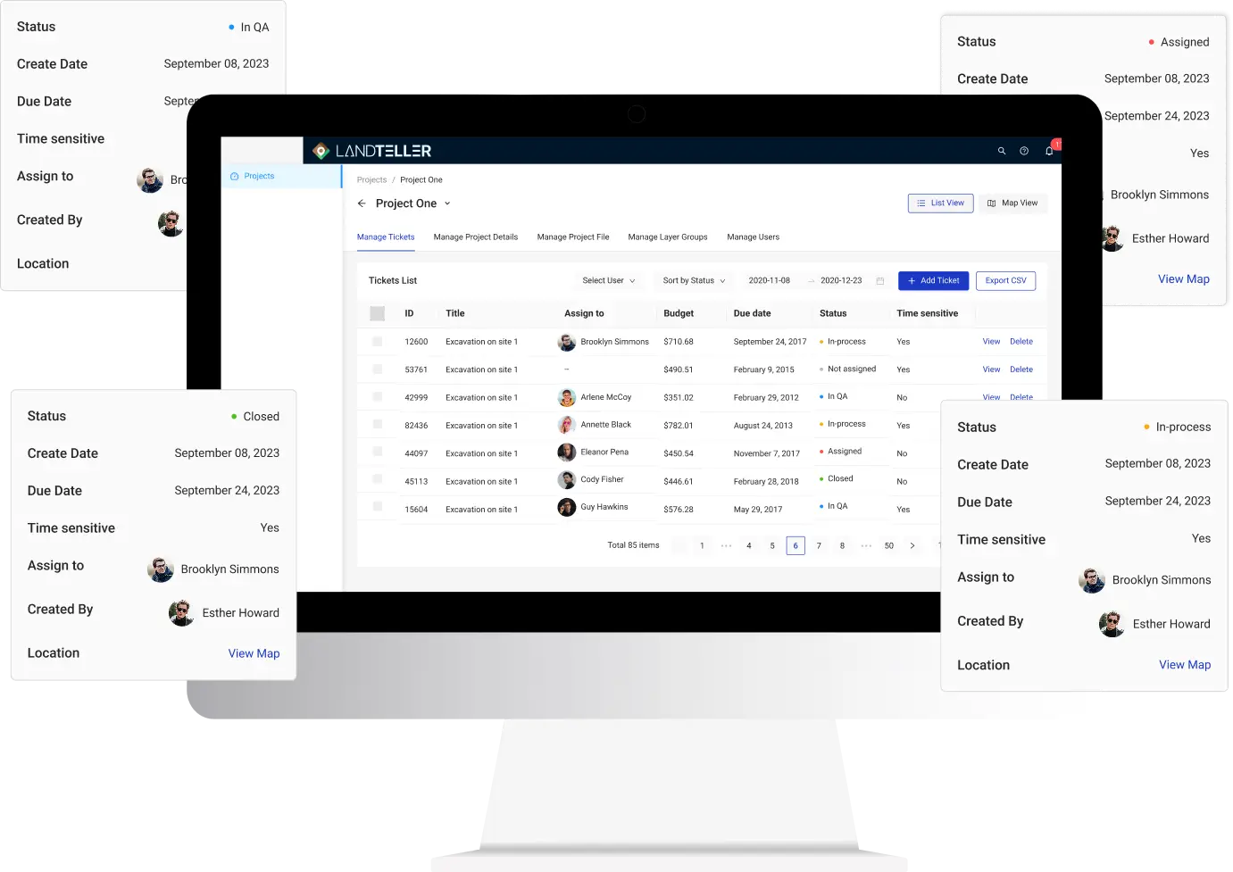
Provided a hierarchical ticketing system for structured work orders.

CAD-based Projects

Supported Development Planning File conversions for CAD-based projects.

Scalable cloud-based system

Delivered a scalable cloud-based system for large-scale construction project oversight.

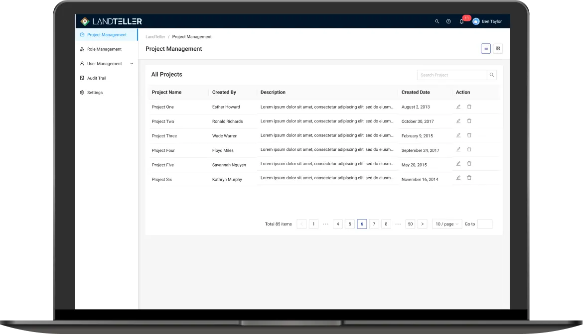
Folio3 developed a comprehensive Geographic Coordinate System (GCS)-enabled work order platform. The solution empowers land developers and construction firms to visualize projects on live geospatial maps, create and manage geotagged tasks, and optimize construction project management with precision. It addressed;

1. Optimizing User Flow

2. Enhancing Scalability and Stability

Tools & Technologies Used

The development stack includes .NET Framework & ReactJS. For Geospatial & CAD Integration Third-party 2D-3D maps integrations & Civil Smart Object reader and converters. The infrastructure & Hosting comprises AWS Hosting.

Result & Impact

Following the deployment of Construction Workflow Management System reported a 40% reduction in task misalignment across active construction sites, driven by real-time geospatial visualization and location-linked work orders. The CAD file conversion workflow decreased planning-to-execution turnaround time by approximately 60%, enabling faster mobilization of field teams. Project managers experienced a 35% increase in task tracking efficiency through the platform’s hierarchical ticketing system. Additionally, the AWS-based cloud infrastructure ensured 99.9% uptime and supported scaling to over 50 concurrent project sites with zero performance degradation. These improvements not only enhanced operational visibility but also solidified the client’s competitive edge as a geospatial-first solution provider in the construction tech market.

Contact us

Whether you are a large enterprise looking to augment your teams with experts resources or an SME looking to scale your business or a startup looking to build something.
We are your digital growth partner.

Tel: +1 408 365 4638
Support: +1 (408) 512 1812